Tuesday, October 26, 2010

Branson Area Loop

Map: http://www.mapmyride.com/route/us/mo/hollister/932128846597536303
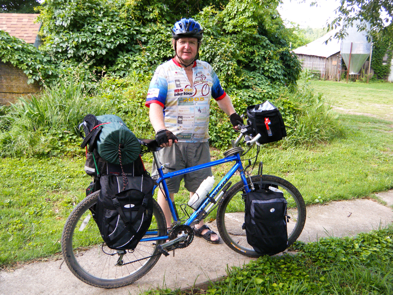
Mileage: Approximately 30 miles.
Climbing: 1560'.
Terrain: Only a couple of hills of any significance.
Road Saftely: Highway 65, very busy, but very wide riding shoulder. Old Springfield road, rural road, no shoulder, but very minimal traffic. Level for several miles.
One of the favorite loops to ride in the Branson area is a 30+ mile ride, that takes you through Hollister then down towards Omaha, Arkansas. It's a nice ride, not too many hills by southern Missouri standards and includes a nice, quiet scenic section.
If you start from the Branson area, you head south on highway 65 from Hollister. I think many of the locals park at the Hollister school, but there are also plenty of places to leave your car near the College of the Ozarks exit.
Ride south on 65 to highway 86 (the Big Cedar Lodge exit). Turn left onto 86. Go to Ridgdale Road (about 1/8 mile) and turn left. You'll pass the Cedar Junction General Store. Approximately 3 miles, Ridgedale Road ends and becomes highway 14. Stay to the left. You'll come to highway 65 again, but only ride on it for less than a mile, then turn left towards Omaha, Arkansas. Be looking for the "Old Springfield" road, less than 2 miles. Turn left onto "Old Springfield" (unless you want to check out the Roberson's Orchard, about 1 1/2 miles away).  After you pass a couple of hills, be watching for "Gobler's Knob" on your left, and turn onto that road. Stay on that main road until you get to Hollister. It makes a few turns, and changes names. At some point it becomes "BB". You'll pass the Hollister High School, then soon you'll run into business 65. Go left. This will take you back up to highway 65.
There are several convenience stores along the way, so you are never more than 10-15 miles from facilities.
There used to be maps of this, and other rides in the Branson area at Branson's only bike shop, Downhill Bikes.......  http://downhillbikes.biz/

I parked my car in the Commuter Parking lot at the highway 86 & 65 junction. There is a convenience store across the road. Since I came in from Arkansas on highway 86, this is the most convenient place to begin the ride. Most Branson riders will start in or near Hollister.
 I headed south on the old highway 65, now known as the Ridgedale Road.
What is other wise just "brush", turns a nice flaming red in fall.


 A few miles down Ridgedale Road, you come to highway 14, which then follows highway 65 for a short distance. Highway 65 is a busy road, but has a good shoulder.
 About 1 1/2 miles off this loop, is Roberson's Orchard, near Omaha. You stay on highway 14 and pass the Old Springfield Road. In addition to fresh seasonal fruit, they have all sorts of dried fruits, trail mix, nuts, and candies. Well worth the extra 3 mile round trip (no big hills).
 Beginning the Old Springfield Road, heading north. Not much of a shoulder to ride on, but very little traffic. This road is fairly level for several miles.


 You circle the new Branson airport on this loop ride. This is looking north west.

 Can't pass an old country church, without stopping and doing a few photos.


Don't forget to turn onto Gobler's Knob, or you'll end up in Kirbyville (been there, done that).


 This is the Basore Limousin Farm, owned by College of the Ozarks.
Going down the hill into Hollister.
 Can't pass up a pretty stream. This one runs through Hollister. I think it's Turkey Creek.
 Hollister is a small, but interesting town to see. Sorry, I forgot to get a photo of where I ate. It's called the "Japaneese Kitchen". Had a great vegetable dish for less than $5.


 A scenic railroad runs from Branson down into Arkansas.
 Crossing highway 65.
 The College of the Ozarks. If you get a chance, visit their college. The museum has the original Beverly Hillbillies car. The Keeter Center is a place for fine dining.
Highway 65, headed back south.


Wednesday, October 13, 2010

Bicycle Maintenance-Chain Lubing

Years ago I found out the hard way, you want to keep your chain in good working order. An improperly maintained chain can damage the sprockets on your bike, or even break.
It's my understanding, that a bike chain should be lubed after 100 miles of riding, or if it gets wet. I found this good link on how to properly lube your chain.
The mechanics at the bike shop I use (Sunshine Bike Shop in Springfield), suggest I use T-9 lubricant, here's a link to that lube:
http://boeshield.com/
Here's a link on how to clean a bike chain:
http://video.bicycling.com/video/Cleaning-and-Lubing-a-Chain

Tuesday, October 12, 2010

Over Night Trip to Withrow Springs

Two Day Trip
Mileage: Round trip, 88 miles
Climbing: Approximately 4,300'
Route: Hwy 21 Oak Grove to Berryville, hwy 62 to Eureka Springs, hwy 23 to Withrow Springs.
Terrain: Typical Ozarks, moderate hills.
Road Safety: Hwy 21 moderate traffic, no shoulder.....hwy 62 heavier traffic, good riding shoulder......hwy 23 moderate traffic, good riding shoulder

 In May 2010, I did my first over night camping trip of the year. Was a great time of year, perfect weather. I always pack way too much gear, but like to be prepared for any problem. Didn't do any cooking, ate at a couple restaurants, and took snacks. My favorite things to carry on the bike are fig newtons and trail mix. I buy powdered Gatoraid, and repackage it into small, individual servings.

 On the sidewalk at home, loaded with about 40 pounds of over night gear.
 Hwy 21 between Oak Grove and Berryville. Not much of a shoulder to ride on, but I feel safe riding it. Not a whole lot of traffic, except "rush hours"....early morning, late afternoon. I always ride with a mirror, to keep an eye on the traffic behind me.
 Approaching Berryville.
 Picturesque chapel, between Berryville and Eureka Springs.
 Traffic can be heavy on hwy 62 between Berryville and Eureka Springs, but there is a good shoulder to ride on. However, I tend to not ride on the shoulder, until I see someone coming from behind. Shoulders tend to be littered with debris....glass, rocks, etc.
 "Interesting" car on hwy 23 south of Eureka Springs.
 Hwy 23 south of Eureka Springs is hilly in places, but has a nice shoulder, and not a whole lot of traffic.
 Not sure what type trees there are, but they were pretty.
 Riding down into Withrow Springs.
 Visitor Center at Withrow Springs. There are several hiking trails in the park. They offer canoe and kayak rentals for float trips and camping.

 Withrow has a very nice bathroom/shower facility.
 My tent pitched at my assigned camping spot. Only problem, I was close to the road that goes through the park and cars came by all night log.
 The road through the park. Withrow is a beautiful park!
 Had a breakfast pizza at the Hwy 23 Camperpark and Store. Good food, friendly service.

 Hwy 23.

View from hwy 23.

For more information on Withrow Springs, check out their web site:
http://www.arkansasstateparks.com/withrowsprings/